The North end, a survey and a comprehensive plan (1919)
Boston (Mass.). City Planning Board, Cram, Ralph Adams, 1863-1942 · City of Boston, Printing department · leaf 14
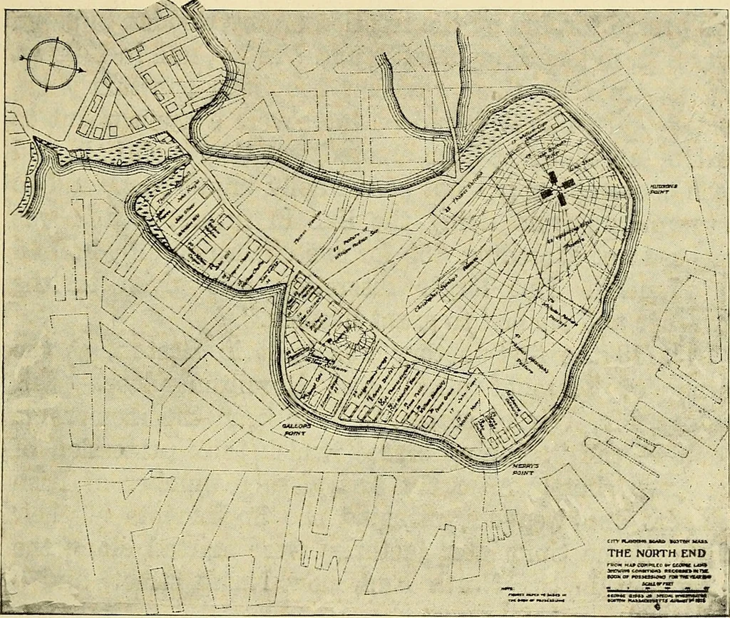
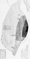
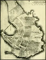
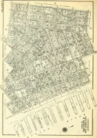
Boston centering along Washington and State streets —now the business center — and the North End (Fig. 3), Development of the North End. 3 with Hanover street as the main artery, a causewayapproach across the flats from the West End and a shoreroad around the greater part of the district. Although… … FIG. 3.—THE NORTH END AS IT WAS IN 1645, FROM MAP COMPILED BY GEORGE LAMB, SHOWING CONDITIONS RECORDED IN THE BOOK OF POSSESSIONS, SUPERIMPOSED ON MAP OF PRESENT DAY. network of streets and alleys has developed with relativelylarge blocks between streets of reasonable width, and manyback lots…
Municipal services · City planning · Working class · Housing
Internet Archive · Boston Public Library · Public Domain Mark 1.0. Free to use for anything.