The North end, a survey and a comprehensive plan (1919)
Boston (Mass.). City Planning Board, Cram, Ralph Adams, 1863-1942 · City of Boston, Printing department · leaf 16
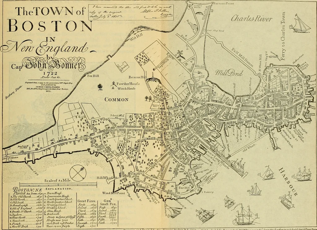
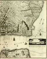
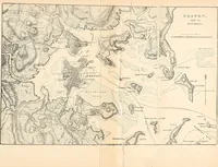
ctly the center,with business buildings on Washington street runningnorth and south, and on State street and Long Wharfto the east. The principal streets in the North End,which are nearly identical with the important streets inthat portion of the city today, were largely built up. Inthe thirty-six… … STij^mx^i wndJn.nUJ iy Fra J)mvu/. £o ftOJi N £ i 7 2 > . Jcld ly UpiJs linJlrnTitT anjl H-illTPrict ajun/ij Tm-iiJ/ru/c-nAi^ m,ijfit^,Jiliy<^it¥J^<^llm»f FIG. 4.— MAP MADE BY LOUIS BONNER IN 1722. Development of the Noeth End. 5 on the easterly and northerly shores are shown, and on…
Municipal services · City planning · Working class · Housing
Internet Archive · Boston Public Library · Public Domain Mark 1.0. Free to use for anything.