The North end, a survey and a comprehensive plan (1919)
Boston (Mass.). City Planning Board, Cram, Ralph Adams, 1863-1942 · City of Boston, Printing department · leaf 18
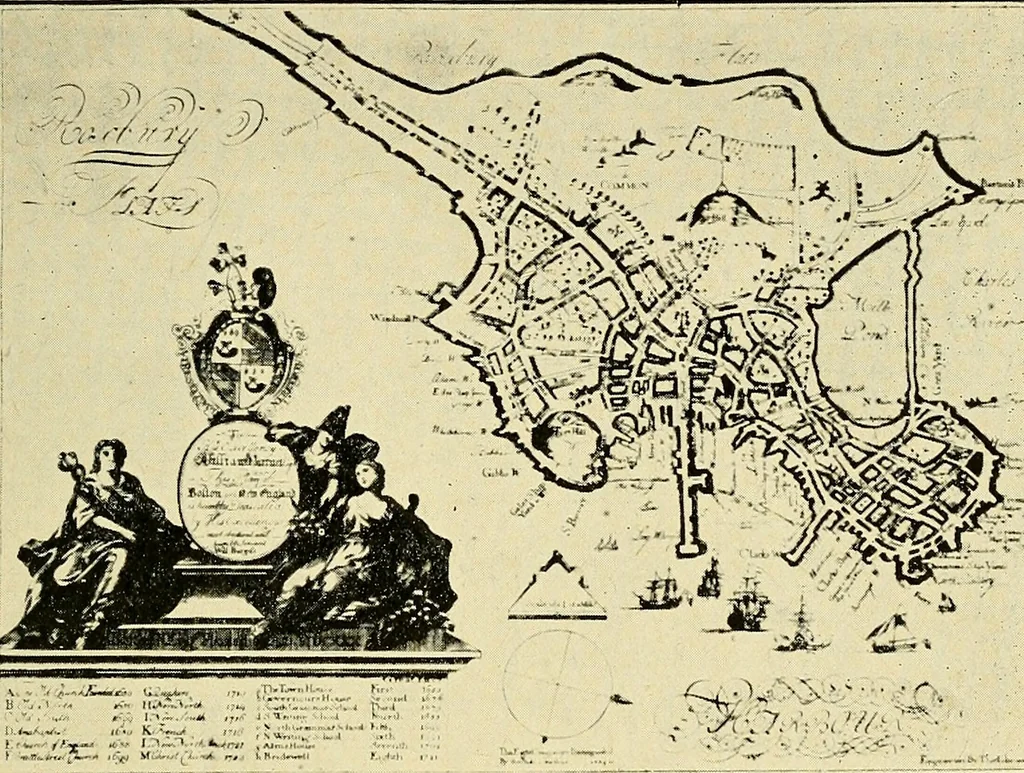
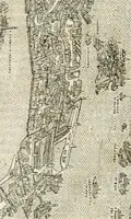
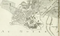
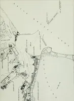
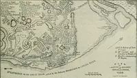
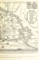
^ m,ijfit^,Jiliy<^it¥J^<^llm»f FIG. 4.— MAP MADE BY LOUIS BONNER IN 1722. Development of the Noeth End. 5 on the easterly and northerly shores are shown, and on theeast, far out from the shore, Old Wharf, now the bedof Atlantic avenue, then but a jetty to protect the towncove. About the time… … FIG. 5.—MAP MADE BY WILL BURGISS IN 1728. A survey by Osgood Carlton in 1795 shows continued fillingtoward the east, and soon after, in 1804, the filling of themill pond, which covered a period of twenty-five years, wasbegun. Mr. Winsor states that between 1790 and 1800there were three mills for…
Municipal services · City planning · Working class · Housing
Internet Archive · Boston Public Library · Public Domain Mark 1.0. Free to use for anything.