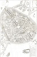
The North end, a survey and a comprehensive plan (1919)
Boston (Mass.). City Planning Board, Cram, Ralph Adams, 1863-1942 · City of Boston, Printing department · leaf 31
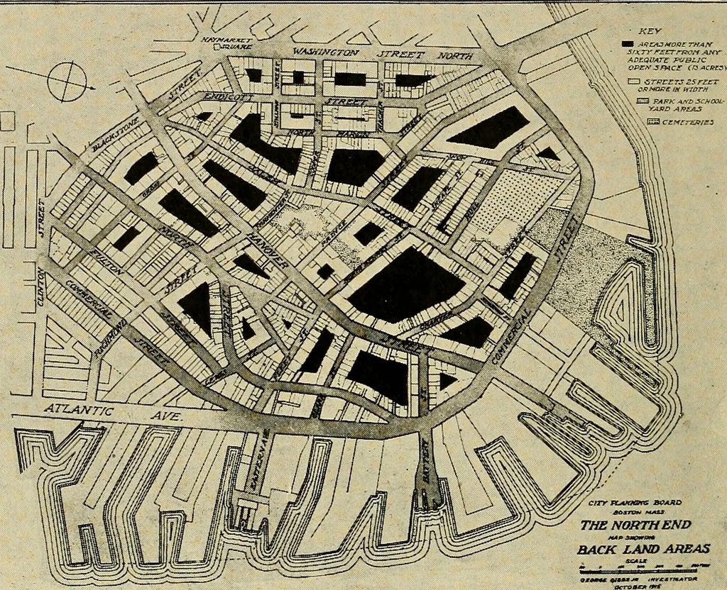
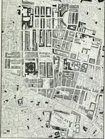
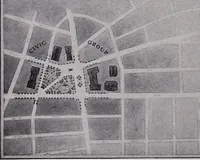
18 City Planning Board. A standard lot depth of 100 feet may serve ordinaryrequirements for lots of fair frontage on reasonably widestreets, but for the narrow average width of streets in theNorth End, and the class of buildings now erected or likelyto be erected in the near future, 100 feet in… … FIG. 8.— MAP OF BACK LAND AREAS IN THE NORTH END. Gray — Reasonably wide streets. Dotted area — Public open spaces. Black — Rear lands 60 feet or more from such open spaces. to provide wholesome living accommodations. In therear of lots in excess of 60 feet in depth there are largeareas of land in…
Municipal services · City planning · Working class · Housing
Internet Archive · Boston Public Library · Public Domain Mark 1.0. Free to use for anything.