The North end, a survey and a comprehensive plan (1919)
Boston (Mass.). City Planning Board, Cram, Ralph Adams, 1863-1942 · City of Boston, Printing department · leaf 33
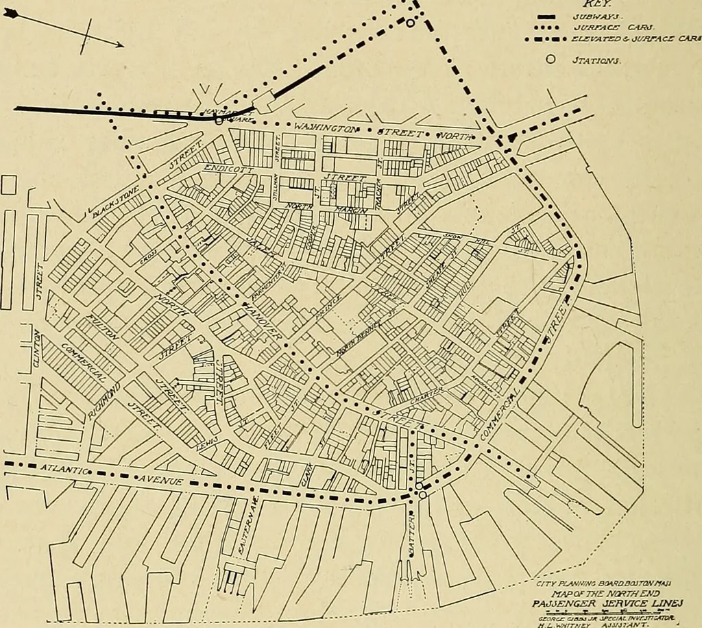
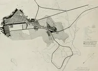
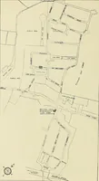
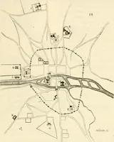
may reasonably be askedwhether they are really warranted. Studies have beenmade for a number of changes in the North End, and are 20 City Planning Board. shown on the general plan hereinafter described. Thisgeneral plan, if carried out as opportunity offers, will bejustified by the improvement in… … FIG. 9.— MAP SHOWING TRANSIT LINES THAT SERVE THE NORTH END. Heavy black line — Subway and tunnel. Dotted line — Surface cars. Dot and dash line — Elevated and surface cars. tant factor in the city activities. Although they may beaffected somewhat by the development of waterfrontactivities in South…
Municipal services · City planning · Working class · Housing
Internet Archive · Boston Public Library · Public Domain Mark 1.0. Free to use for anything.