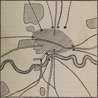
The North end, a survey and a comprehensive plan (1919)
Boston (Mass.). City Planning Board, Cram, Ralph Adams, 1863-1942 · City of Boston, Printing department · leaf 34
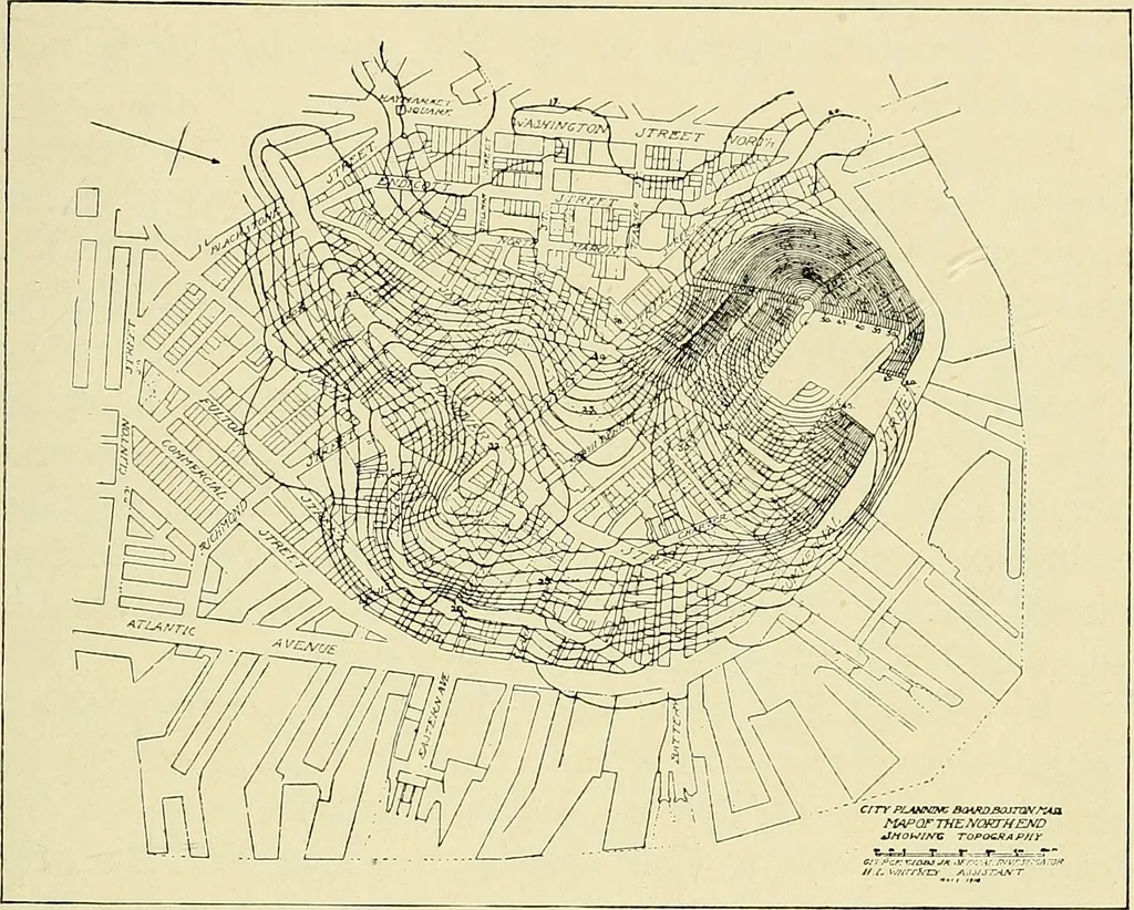
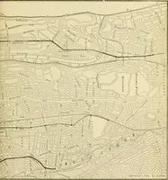
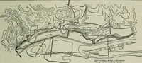
hrough Atlanticavenue and Commercial street, the subway under Hay- Development of the North End. 21 market square, and the surface cars through Washingtonand Hanover streets, Atlantic avenue and the northernportion of Commercial street, with the ferries at Batterystreet and Eastern avenue. Through… … FIG. 10.- ■ CONTOUR MAP OF THE NORTH END.Contour interval — one foot. An additional thoroughfare is no doubt needed, intersect-ing the area in the other direction, and connecting theCharlestown Bridge by a direct route with the marketdistrict. From the corner of Atlantic avenue and Clintonstreet to…
Municipal services · City planning · Working class · Housing
Internet Archive · Boston Public Library · Public Domain Mark 1.0. Free to use for anything.