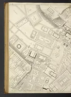
The North end, a survey and a comprehensive plan (1919)
Boston (Mass.). City Planning Board, Cram, Ralph Adams, 1863-1942 · City of Boston, Printing department · leaf 65
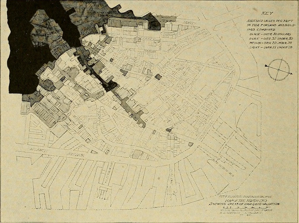
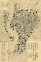
ssessed valueof lands per square foot; the other showing the assessed 52 City Planning Board. value of lands and buildings combined. From each ofthese maps two others have been made, showing the dis-tribution of high values (Figs. 25 and 27), and of low values(Figs. 26 and 28). The assessed value… … FIG. 27.— MAP SHOWING AREAS OF HIGH COMBINED LAND AND BUILDING VALUATIONS, ASSESSED AT $15 OR MORE PER SQUARE FOOT. Black — Over $50 per square foot. Dark — Under $50 and over $30. Medium — Under »30 and over $20. Light — Under $20 and over $15. ft varies less, but is still out of all proportion to…
Municipal services · City planning · Working class · Housing
Internet Archive · Boston Public Library · Public Domain Mark 1.0. Free to use for anything.