Ohio archæological and historical quarterly (1887)
Ohio State Archaeological and Historical Society · Columbus : Published for the Society by A.H. Smythe · leaf 424
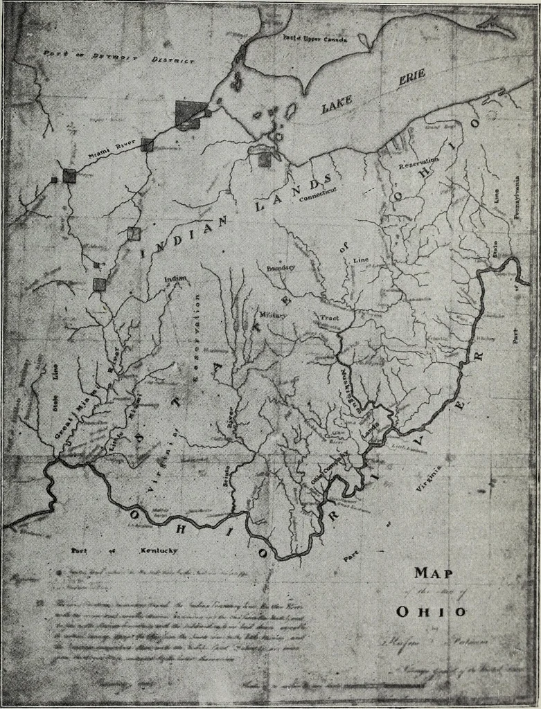
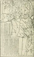
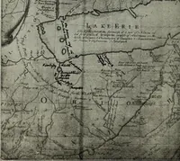
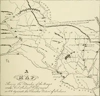
ombined attack at Lower Sandusky, expecting no doubt that GeneralHarrisons attention would be chiefly directed to forts Winchester andMeigs. The General however had calculated on their taking this course,and had been careful to keep patrols down the bay, opposite the mouthof Portage River, where he… … RUFUS PUTNAMS MAP, 1804. (Map of the State of Ohio, by Rufus Putnam, Surveyor^ General of the U. S.Courtesy of the Western Reserve Historical Society, Cleveland.) 412 Ohio Arch, and Hist. Society Publications. heights which surround Fort Stephenson; and as the hill on the oppositeor southeast side…
History · Archaeology
Internet Archive · Allen County Public Library · Public Domain Mark 1.0. Free to use for anything.