Ohio archæological and historical quarterly (1887)
Ohio State Archaeological and Historical Society · Columbus : Published for the Society by A.H. Smythe · leaf 385
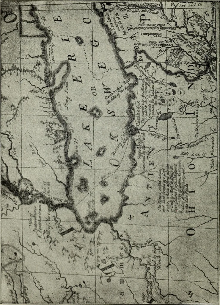
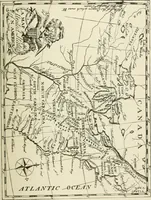
1751, and which was afterwards evacuated. Tofind it, I followed the shore on the north side of said lake whichruns east and west, after proceeding about three leagues, Ifound a clearing where I landed at noon and discovered theruins of the old Fort. There is here no denial of the previous… … FART OF MITCHELLS MAP, 1755. (Map of British and French Dominions in North America, by Jno. Mitchell,Courtesy of the Western Reserve Historical Society, Cleveland). Old Fort Sandoski of 1/4^ and The Sandusky Forts. 373 in Mitchells map published in 1755 which locates the Fort atthe point where the…
History · Archaeology
Internet Archive · Allen County Public Library · Public Domain Mark 1.0. Free to use for anything.