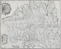
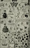
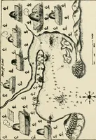
Portolan charts; their origin and characteristics, with a descriptive list of those belonging to the Hispanic society of America (1911)
Stevenson, Edward Luther, 1858-1944, Parr, Charles McKew donor, Parr, Ruth, donor, Hispanic Society of America · New York [The Knickerbocker Press] · leaf 94
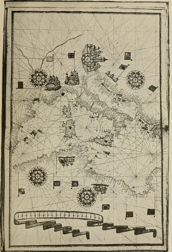
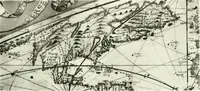
coast of France, of Tunis, of theisland of Sicily, and the opposite mainland of Italy, theAdriatic coast of Tuscany, the coast of Istria, and the coastof western Greece, all are made especially prominent byheavy coloring. Regional names are numerous, including Europe,Genes, Venise, ItaHe, Tuscane,… … 18. GIOVANNI MARTINES, 1582 CHART TWO OF ATLAS. is highly colored, and contains numerous elaborate orna-ments. Europe, Asie, and Afrique are ap-propriately inscribed, with the addition of such names asGreece, Troye, Natolie, Carmanie, Svrie.Golgotha is represented with the three crosses. Themouth…
Nautical charts · Navigation · Cartography
Internet Archive · Brandeis University Library · Public Domain Mark 1.0. Free to use for anything.