Records of the Past Exploration Society · [Washington, D.C. : Records of the Past Exploration Society] · leaf 365
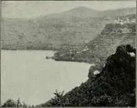
D. PRIMITIVE CHART BY THE POLYNESIANS:—The Brit-ish Museum has recently come into possession of a chart of the Mar-shall Islands of the South Pacific Ocean, which was prepared by thenative Polynesians as a chart to use in traveling from island to island.The different routes, currents, and… … NECK OF LAND CONNECTING CYZICUS WITH THE MAINLAND
Archaeology
Internet Archive · Public Domain Mark 1.0. Free to use for anything.