Surveying, with sections on map reading. military sketching and topographic drawing (1919)
United States. War dept. Committee on education and special training. [from old catalog] · Washington · leaf 250
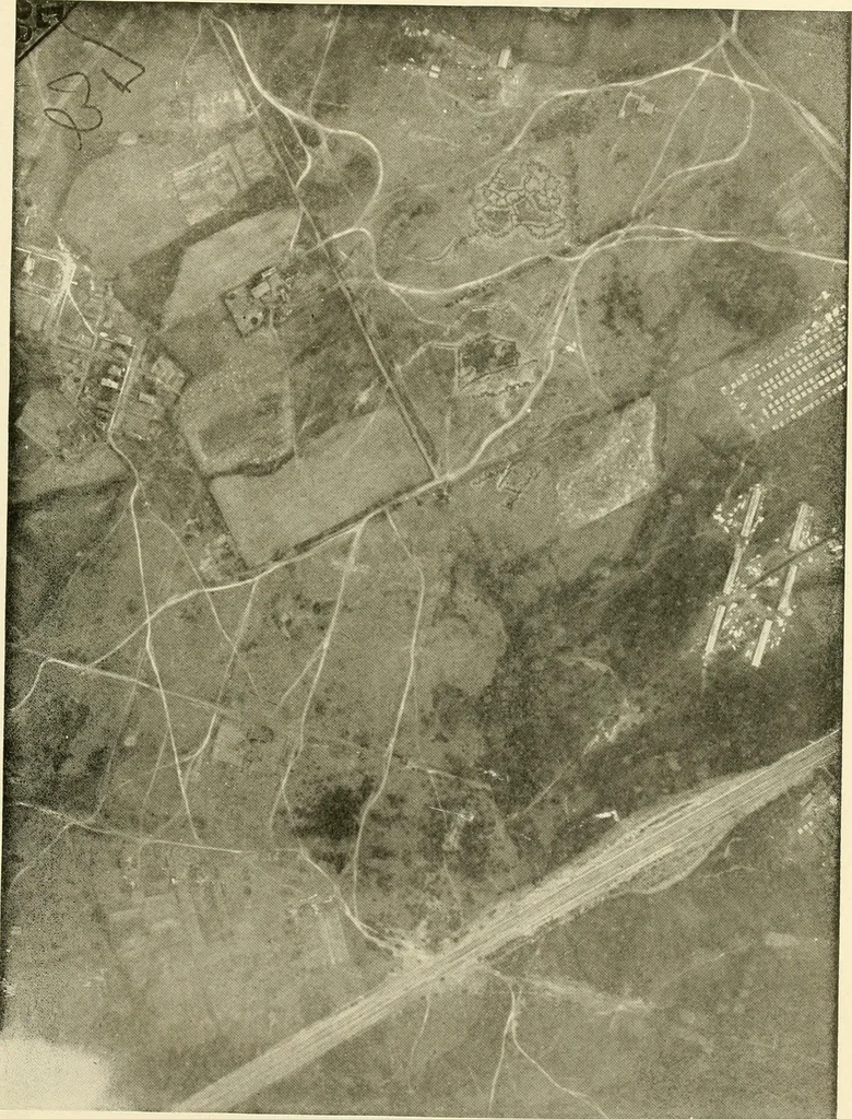
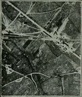
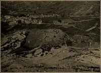
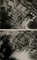
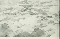
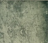
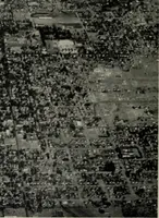
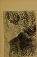
cal details? 9. Were these photos taken while airplane was directly over the area? 10. How is correction applied to bring a photo to normal position when taken at an inclination? 11. How can the height of the airplane be determined from the photos? These were taken on a 4-in by 5-in. plate at a… … WAR DEPARTMENT COMMITTEE ON EDUCATIONAND SPECIAL TRAINING SURVEYING JOB No. 319 PAGE 3
Surveying · Military topography · Topographical drawing
Internet Archive · Library of Congress · Public Domain Mark 1.0. Free to use for anything.