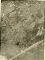
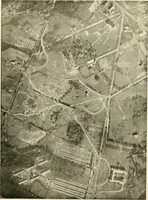
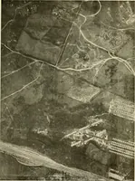
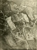
Surveying, with sections on map reading. military sketching and topographic drawing
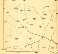
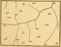
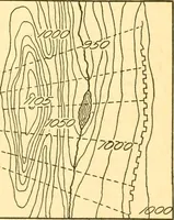
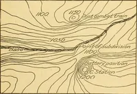
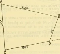
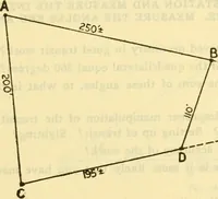
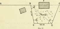
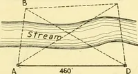
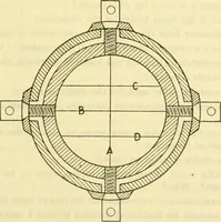
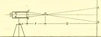
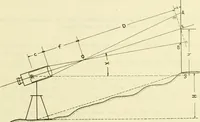
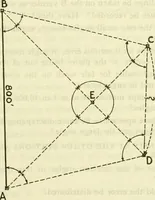
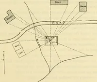
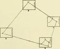
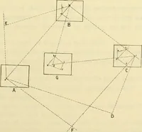
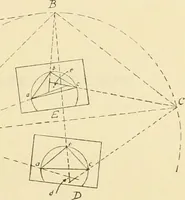
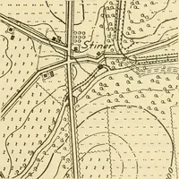
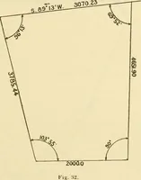
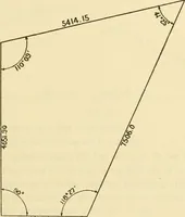
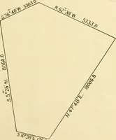
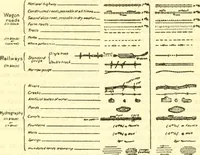
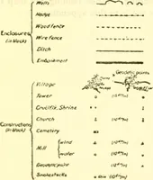
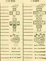
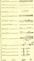
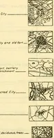
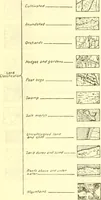
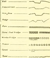
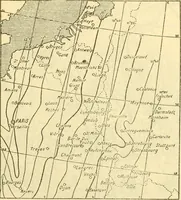
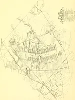
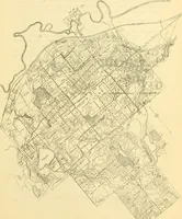
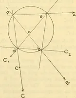
A 1919 surveying manual issued in Washington by the War Department's Committee on Education and Special Training, teaching map reading, military sketching, and topographic drawing to soldiers in training. Line diagrams show plane-table sightings from a road and buildings, spot-height sketches with dashed contours, and closed traverse polygons labeled with bearings and distances, useful as skeletal map and geometry motifs.