Finch, James Kip, 1883- · New York : John Wiley & Sons, Inc. · leaf 141
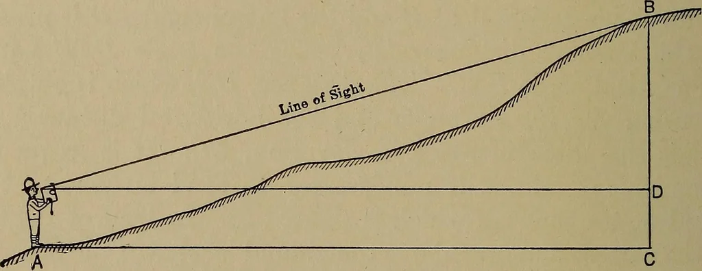
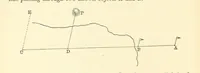
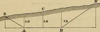
ting the height DA, as the true difference in elevationequals AC. In order to obtain the difference in elevation the hori-zontal distance is always necessary, as well as the verticalangle. This does not always require pacing the distance to 120 CONTOUR MAPPING the object sighted. A point may be… … Fig. 68.—Correction of an Upward Sight. the horizontal distance shall be in yards, and it is thereforenecessary to scale from the map the horizontal distances usedin determining the difference in elevation. Knowing thevertical angle and the horizontal distance the difference in
Cartography · Military maps
Internet Archive · Library of Congress · Public Domain Mark 1.0. Free to use for anything.