Finch, James Kip, 1883- · New York : John Wiley & Sons, Inc. · leaf 53
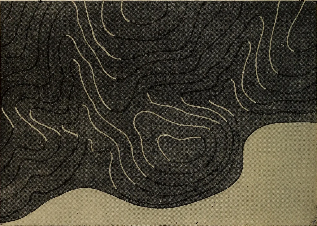
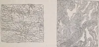
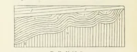
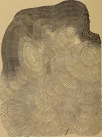
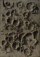
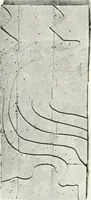
a. 34 WHAT A TOPOGRAPHIC MAP SHOWS Contours and Maps, * is applicable only to relief maps asthe deep base tint obscures conventional signs. The schemeis based on layers with horizontal lighting at 45 degrees fromthe upper left-hand corner. The edges of those layers whichare toward the light are… … Fig. 17.—Oroscopic System for Contour Maps. light pink and deep red. No maps are made in this way, butit is suggested as an advantageous modification of the typeshown. Various methods of shading have also been used in connec-tion with contour maps and these probably offer one of themost…
Cartography · Military maps
Internet Archive · Library of Congress · Public Domain Mark 1.0. Free to use for anything.