Finch, James Kip, 1883- · New York : John Wiley & Sons, Inc. · leaf 84
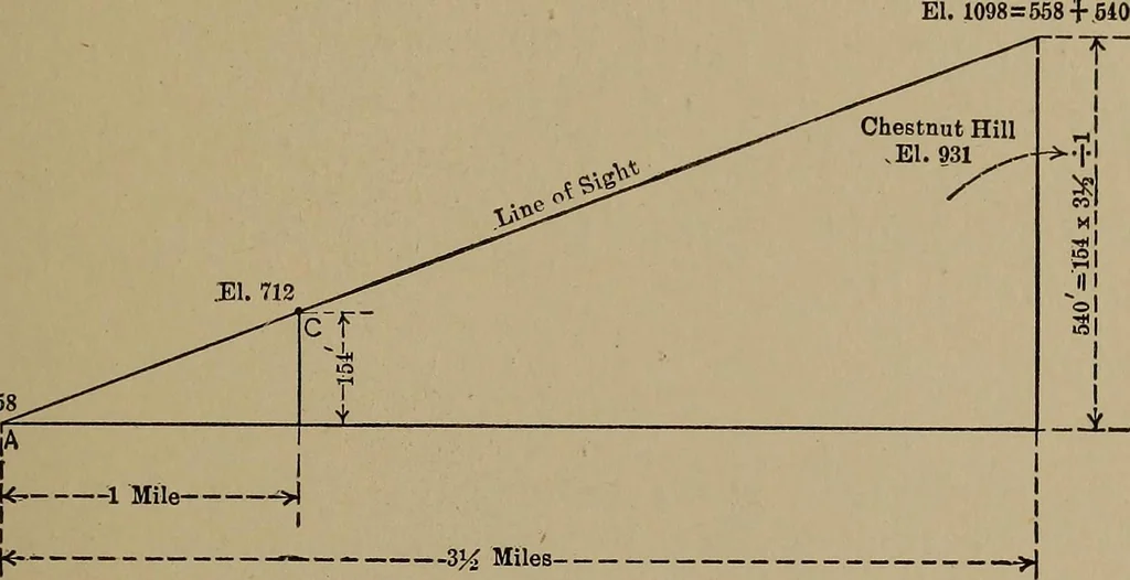
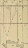
n be measured in anyconvenient unit. Indeed this problem can be solved mentallywith sufficient accuracy to answer the question. VISIBILITY PROBLEMS 65 It is obvious that Chestnut Hill would have been visibleif the line of sight at B had been 931 feet or lower. Anotherproblem which is solved in a… … .El. 712 ^31.;558 Fig. 36.—Intervisibility Computation. at D about 60 or 70 feet above A, giving the required heightas shown by the dotted line in Fig. 35. Mathematically, weknow that this line of sight must have a slope of 931 — 712,or 219 feet in 2\ miles (the distance from Hill 712 to Chest-nut…
Cartography · Military maps
Internet Archive · Library of Congress · Public Domain Mark 1.0. Free to use for anything.