A treatise on land-surveying; comprising the theory developed from five elementary principles; and the practice with the chain alone, the compass, the transit, the theodolite, the plane table, &c. Illustrated by four hundred engravings, and a magnetic chart (1875)
Gillespie, W. M. (William Mitchell), 1816-1868 · New York, D. Appleton · leaf 136
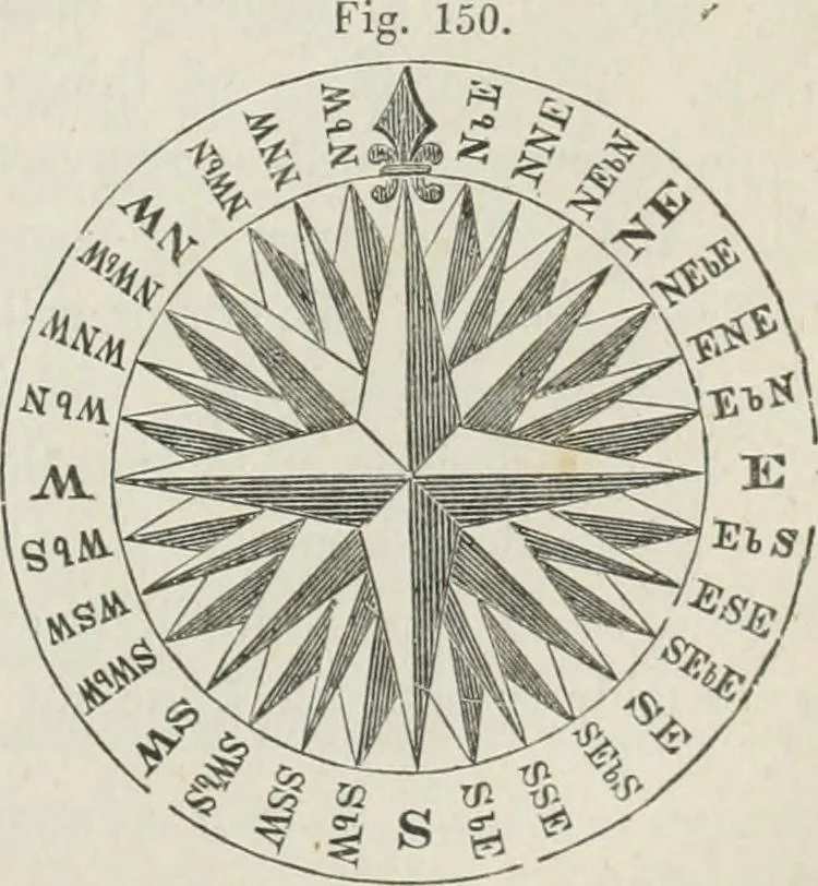
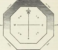
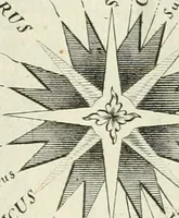
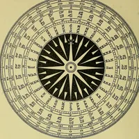
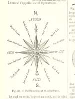
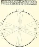
es-point iaimarked E, or East. The reason of this will be seen when themethod of using the compass comes to be explained in the followingchapter. (225) The Points. In or-dinary land surveying, only fourpoints of the compass havenames, viz: North, South, Eastand West; the direction of aline being… … 130 CO^IPASS SURVEYING. [part iil \h.e figure. Two rules embrace all the cases. 1° When theletters indicating two points are joined together, the point half waybetween the two is meant; thus. N. E. is half way between Northand East; and N. N. E. is half way between North and NorthEast. 2° When the…
Surveying
Internet Archive · California Digital Library · Public Domain Mark 1.0. Free to use for anything.