A treatise on land-surveying; comprising the theory developed from five elementary principles; and the practice with the chain alone, the compass, the transit, the theodolite, the plane table, &c. Illustrated by four hundred engravings, and a magnetic chart (1875)
Gillespie, W. M. (William Mitchell), 1816-1868 · New York, D. Appleton · leaf 157
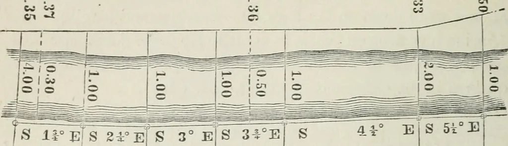
i-ties for noting offsets. Examples of these four methods are given m Art. (254) ; whichcontains the field-notes of the lines bounding a field. i (251) IVew-York Canal Maps. The following is a descriptionof the original maps of the survey of the line of the New-York ErieCanal, as published by the… … s irEis zrBls 3° e]s 34°e E S 5t°E The Red Line described along the inner edge of the towingpath is the base line, upon which all the measurements in the duec-tion of the length of the canal were made. The bearings refer tothe magnetic meridian at the time of the sm-vey. The lengtlis ofthe several…
Surveying
Internet Archive · California Digital Library · Public Domain Mark 1.0. Free to use for anything.