A treatise on land-surveying; comprising the theory developed from five elementary principles; and the practice with the chain alone, the compass, the transit, the theodolite, the plane table, &c. Illustrated by four hundred engravings, and a magnetic chart (1875)
Gillespie, W. M. (William Mitchell), 1816-1868 · New York, D. Appleton · leaf 166
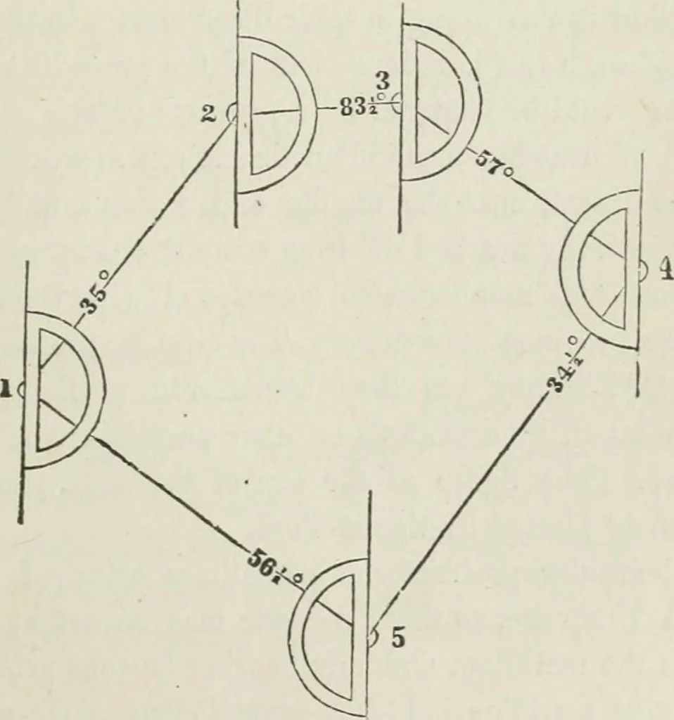
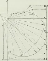
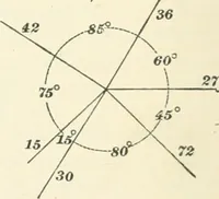
(266) To plat a survey with these instruments, mark, with a finepoint enclosed in a circle, a convenient spot in the paper to repre-lent the first station, 1 in the figure. Its place must be so chosen Fig. 181. … 160 COMPASS SURVEYING. Ipart m that the plat may not run off the paper. With the T squaredraw a meridian through it. The top of the paper is usually,though not necessaiily, called North. With the protractor lay offthe angle of the first bearing, as directed in Art. (264). Set offthe length of the…
Surveying
Internet Archive · California Digital Library · Public Domain Mark 1.0. Free to use for anything.