A treatise on land-surveying; comprising the theory developed from five elementary principles; and the practice with the chain alone, the compass, the transit, the theodolite, the plane table, &c. Illustrated by four hundred engravings, and a magnetic chart (1875)
Gillespie, W. M. (William Mitchell), 1816-1868 · New York, D. Appleton · leaf 239
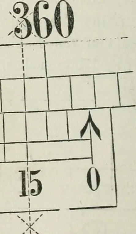
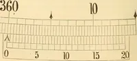
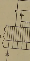
10 Fig. 229. i 60 45 30 … The above figure shows such an arrangement. The index, orzero, of the Vernier is at a point beyond 358°, a certain distance,which the coincidence of the third Ime of the Vernier (as indicated £HAP. II.] Verniers, 233 by the dotted and crossed line) shows to be 15. The whole read-mg is therefore…
Surveying
Internet Archive · California Digital Library · Public Domain Mark 1.0. Free to use for anything.