A treatise on land-surveying; comprising the theory developed from five elementary principles; and the practice with the chain alone, the compass, the transit, the theodolite, the plane table, &c. Illustrated by four hundred engravings, and a magnetic chart (1875)
Gillespie, W. M. (William Mitchell), 1816-1868 · New York, D. Appleton · leaf 330
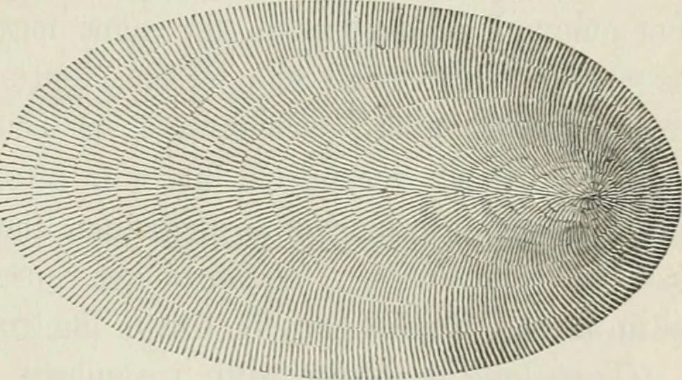
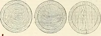
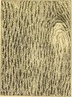
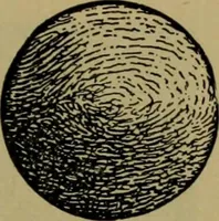
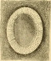
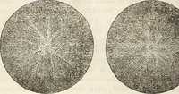
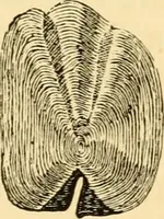
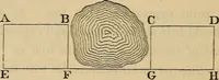
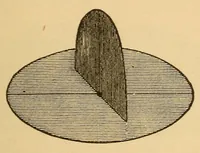
, as in Fig. 319 ; and a half-egg, somewhatas in Fig. 320. Vertical sections, perpendicular to these contour lines, areusually combined with them. They are the Lines of greatest?lope, and may be supposed to represent water running down thesides of the hill. They are also made thicker and nearer… … thus represented. The spaces betweenthe rows of vertical Hatchings indicatethe contour lines, which are not actually drawn. The beauty ofthe graphical execution of this work depends on the uniformity ofthe strokes representing uniform slopes, on their perfectly regulargradation in thickness and…
Surveying
Internet Archive · California Digital Library · Public Domain Mark 1.0. Free to use for anything.