A treatise on levelling, topography, and higher surveying (1876)
Gillespie, W. M. (William Mitchell), 1816-1868, Staley, Cady, b. 1840, ed · New York, D. Appleton and company · leaf 102
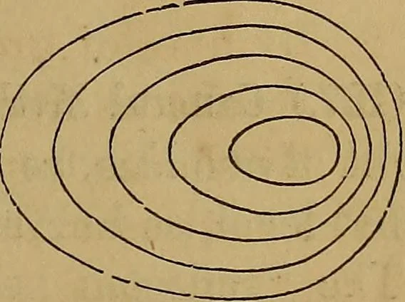
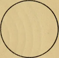
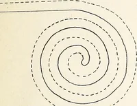
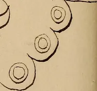
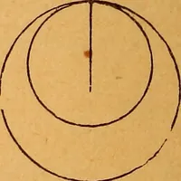
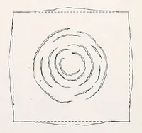
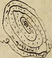
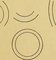
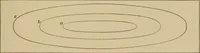
84 LEVELLING, TOPOGKAPHY, AND HIGHER SURVEYING. water, or its shore, at each successive rise, would be one ofthese horizontal contour-lines. It is plain that their nearnessor distance on the map would indicate the steepness or gentle-ness of the slopes. A right cone would thus be representedby a…
Surveying
Internet Archive · Library of Congress · Public Domain Mark 1.0. Free to use for anything.