A treatise on levelling, topography, and higher surveying (1876)
Gillespie, W. M. (William Mitchell), 1816-1868, Staley, Cady, b. 1840, ed · New York, D. Appleton and company · leaf 119
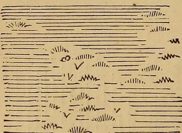
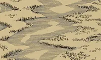
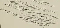
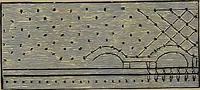
milar set may be drawn between thatand the high-tide mark, and dots, for sand, be made over theincluded space. Bivers have each shore treated like thesea-shore, as in Fig. 118. Brooks would, be shown by only twolines, or one, according to their magnitude.Bonds may be drawnlike sea-shores, or…
Surveying
Internet Archive · Library of Congress · Public Domain Mark 1.0. Free to use for anything.