A treatise on surveying and navigation: uniting the theoretical, the practical, and the educational features of these subjects (1852)
Robinson, Horatio N[elson], 1806-1867. [from old catalog] · Cincinnati, J. Ernst · leaf 217
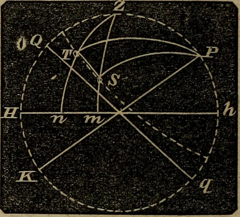
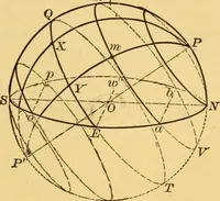
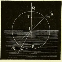
U.L. 20° 3 54 14 16 26° 32 6. D L.L. 16° 2 59 38 23 17° 12 When the weather makes it doubtful whether meridian observa-tions can be obtained, navigators resort to double altitudes, or to thealtitudes of two objects taken at the same time. We shall only show 212 NAVIGATION. … the principle on which this method is founded ; it is the applicationof spherical trigonometry. Let Pp be the earths axis, Qqthe equator. Suppose the sun to bethe object, and let its position be Sand T at two different times. The elapsed time measures theangle SPT. In the triangle PTS,we have the…
Surveying · Navigation
Internet Archive · Library of Congress · Public Domain Mark 1.0. Free to use for anything.