Map reading and topographical sketching
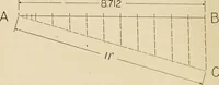
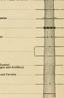
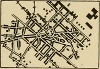
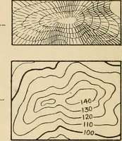
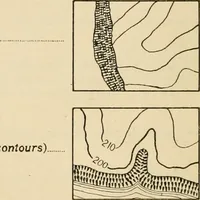
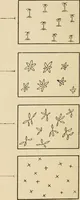
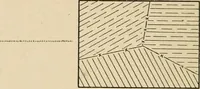
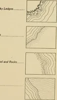
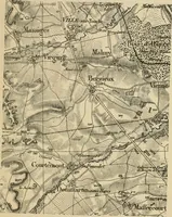
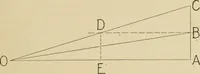
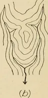
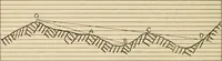
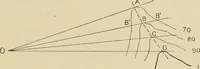
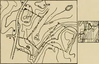
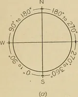
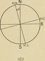
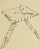
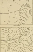
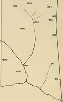
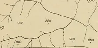
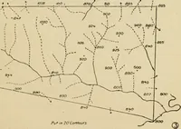
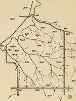
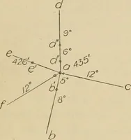
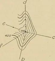
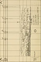
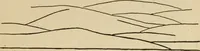
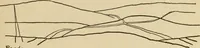
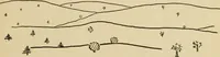
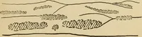
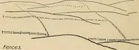
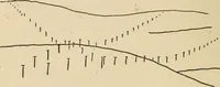
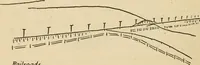
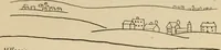
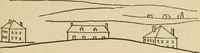
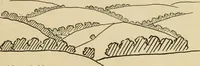
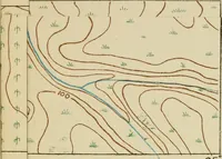
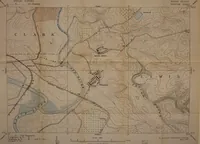
A 1918 McGraw-Hill instruction manual by Edwin Roy Stuart teaching United States Army officers and cadets to read maps and make field sketches of terrain. Line drawings show conventional signs for fences, hedges, roads, brush and hills, plus ruled sketching-board panoramas with penciled range and elevation notes, useful as sparse contour marks, hatched landform shorthand and annotated grid frames.