Stuart, Edwin Roy, 1874- · New York, McGraw-Hill · leaf 104
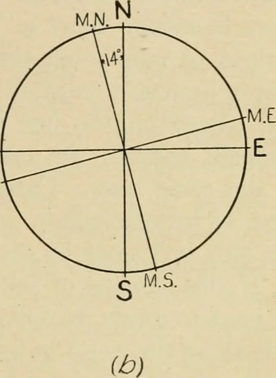
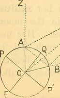
E W M.W. … Fig. 31.—True Azimuths. A diagram like (6) Fig. 31, will show how to convert true azimuthsinto magnetic azimuths, or bearings. Instead of the angle with the true north being used, it may bemore convenient to use the angle with the north lines of the mapgrid, called grid north. In this case the…
Military sketching · Maps, Military
Internet Archive · Library of Congress · Public Domain Mark 1.0. Free to use for anything.