Applied minor tactics (including map problems and the war game) map reading and map sketching (1912)
Moss, James Alfred, 1872- [from old catalog] · Washington, D.C. [National capital press, inc.] sales agents, The U. S. Infantry association; [etc., etc.] · leaf 184
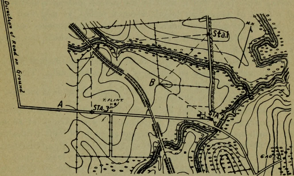
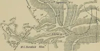
bservation. From this base line allpoints visible toward the enemy are located by intersection or by traversealong the base line, details being shown by conventional signs and con-tours as for the position sketch. Road Sketching.Instruments used: 1. Drawing board or sketching case. 2. Loose ruler.… … Figure 7. Methods: 1. At station 1, Fig. 7, orient the board as described under To locatea point by intersection page , holding the board in the hands in frontof the body of the sketcher who faces toward station 2. 2. Important points in the vicinity, such as the railroad bridge, thestream…
Maps, Military · Tactics · War games
Internet Archive · Library of Congress · Public Domain Mark 1.0. Free to use for anything.