The Civil engineer and architect's journal, scientific and railway gazette (1839)
London : [William Laxton] · leaf 100
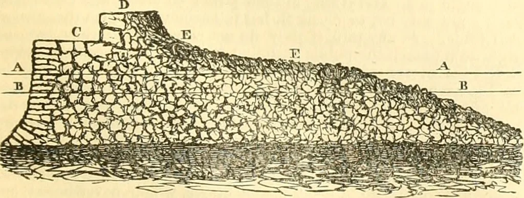
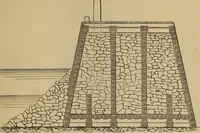
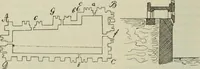
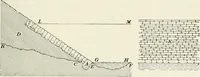
(The dotted line D)—N. bj E^ to the Mull of Cantire—(the other dottedline)—NE by E 4 E, to Ciaig of Ailsi—AAA, Low-water—BB, High-water—CCC, Proposed Piei or Break\vater~DD, Glenarm Bay—EE, Road-way—FF, Harbour—GG, Line of Transverse Section —H, Town of Glenarm. Fig. 2. Transverse Section at GG,… … AA, High-waler—BB, Low-water—C, Top of Quay, 18 feet wide—D, Pa-rapet at top, 01 Storm Pavement—EE, Breakwater Glacis, or Storm Pavement. The Construction.—It is proposed to run out a i-ough pier, orbreakwater, from Paixes Point to a distance of 825 feet, then with acant of 3S0 feet in length, as…
Architecture · Civil engineering · Science
Internet Archive · Boston Library Consortium · Public Domain Mark 1.0. Free to use for anything.