Geological and topographical maps, their interpretation and use, a handbook for the geologist and civil engineer (1911)
Dwerryhouse, Arthur Richard, 1867- · London, E. Arnold · leaf 139
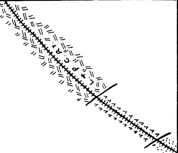
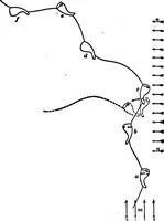
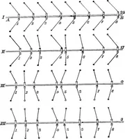
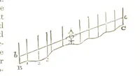
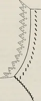
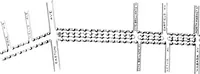
particularly in the case of ahard rock resting upon softer material, when a more orless distinct step will be observed. The manner in which concealed outcrops may beplotted upon contoured maps has already received atten-tion in Chapter III., and the way in which they may beapproximately mapped by… … **v 7Y» 7^Y ^** 1*1 A* ~w **]r> ^ #^ ..-.££$? #^^lr / \i^j*^/ ^v >*- >r>/* J? ,/ J# -I, \ «£** An V S6®w> #/ *^^>^^?> GEOLOGICAL RECONNAISSANCE 127
Cartography · Geology · Topographical drawing
Internet Archive · Cornell University Library · Public Domain Mark 1.0. Free to use for anything.