Inside Out Library · Explore
Geological and topographical maps, their interpretation and use, a handbook for the geologist and civil engineer (1911)
Dwerryhouse, Arthur Richard, 1867- · London, E. Arnold · leaf 140
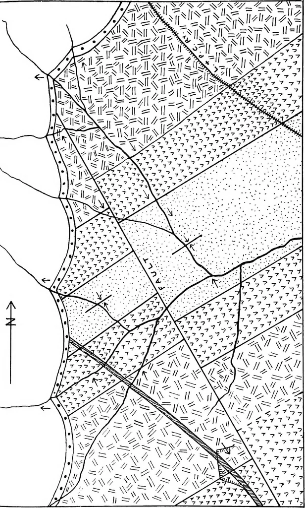 **v 7Y» 7^Y ^** 1*1 A* ~w **]r> ^ #^ ..-.££$? #^^lr / \i^j*^/ ^v >*- >r>/* J? ,/ J# -I, \ «£** An V S6®w> #/ *^^>^^?> GEOLOGICAL RECONNAISSANCE 127 … l~f <M T-* lO i—I CM i—( CM CM CM CM C-q i— t-i ,-h ^h t-t CM i-( CM CM CM CM co m —- CM CM r-t L— L- 12 tQ SQ.2 5 O O Ism -*3 lO O CO L— CO to -p rH t- CI to £ JO CO o ^ To 0 00 o tO »o IO iO -r TP CO rH © CO tO © T-l -P >—i 0 0 0 0 & CO CO O CO CO ■CO- CO CO CO CO !>• 1^ © -p X ** CO…
Cartography · Geology · Topographical drawing
Internet Archive · Cornell University Library · Public Domain Mark 1.0. Free to use for anything.
More pictures from Geological and topographical maps, their interpretation and use, a handbook for the geologist and civil engineer
More like this