Geological and topographical maps, their interpretation and use, a handbook for the geologist and civil engineer (1911)
Dwerryhouse, Arthur Richard, 1867- · London, E. Arnold · leaf 17
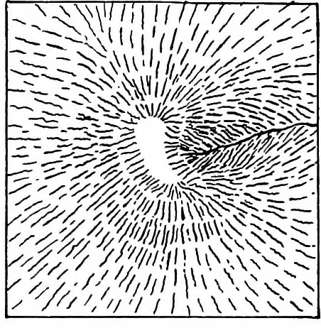
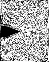
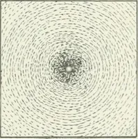
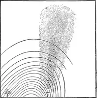
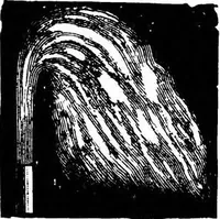
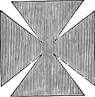
Figs. 2 and 3.—Examples of Hachure Shading. slope in the latter. It is therefore necessary, in additionto hachure shading, to print the heights of importantpoints, so as to enable a fair estimate of the relief of thedistrict to be made. In many of the maps of the Ordnance Survey the slopeof the…
Cartography · Geology · Topographical drawing
Internet Archive · Cornell University Library · Public Domain Mark 1.0. Free to use for anything.