Geological and topographical maps, their interpretation and use, a handbook for the geologist and civil engineer (1911)
Dwerryhouse, Arthur Richard, 1867- · London, E. Arnold · leaf 20
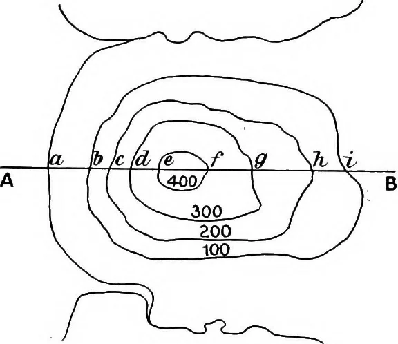
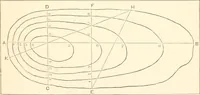
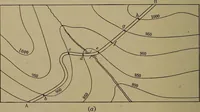
intersect the line AB on the map in thepoints 6, ct d, &c, and lastly join up the points A, I, m, n,&c. The curved line thus produced will approximatelyrepresent the profile of the country along the line AB. It must be remembered that such a profile is onlystrictly correct at the points I,… … 500 400 V T 300 0 S 200 ^ t 100 -nx / \ oc 0 1, ^ A ct 1) c cb e f g 7v ~i> B Fig. 5.—Contoured Plan and Sectionof a Hill. 8 GEOLOGICAL AND TOPOGRAPHICAL MAPS c and b, but they do not indicate whether this fall is dis-tributed equally along the whole distance, or is confinedto the neighbourhood,…
Cartography · Geology · Topographical drawing
Internet Archive · Cornell University Library · Public Domain Mark 1.0. Free to use for anything.