Hinks, Arthur R. (Arthur Robert), 1873-1945 · Cambridge : University press · leaf 52
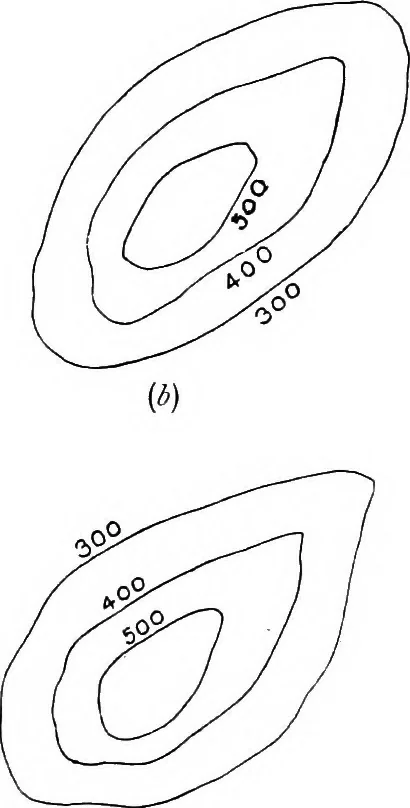
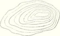
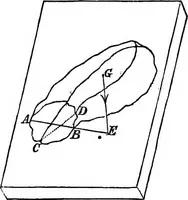
Fig. 3. Methods of figuring contours.{a) right, (b), [c) and (d) wrong. enables the eye to follow the run of the contours, and is a greathelp in reading the form of the ground. It tends to give themap a stepped appearance, and isolated hills seem to be ridgedlike oyster shells, as may be seen…
Maps · Surveying
Internet Archive · Cornell University Library · Public Domain Mark 1.0. Free to use for anything.