Geological and topographical maps, their interpretation and use, a handbook for the geologist and civil engineer (1911)
Dwerryhouse, Arthur Richard, 1867- · London, E. Arnold · leaf 24
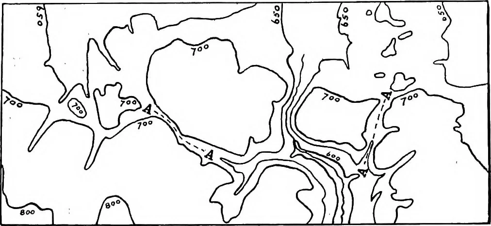
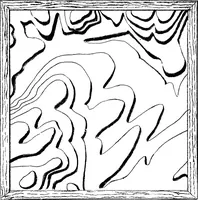
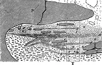
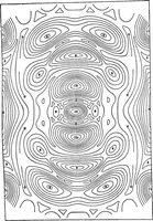
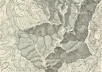
s the useof contour lines in.the last-named connection, the positionof the ancient overflow channels at AA being distinctlyindicated by the contour lines. This example is takenfrom Professor Kendalls paper on the Glacier Lakes of theCleveland Hills.1 The value of contour lines in geological mapping… … Fig. 7.—Glacial Overflow Channels (Dry Gaps), AA,indicated by Contour Lines. front of the national surveys of the world as regards thethoroughness and accuracy with which the field workhas been conducted ; but, unfortunately, until quiterecently, it was far behind those of the United Statesand of…
Cartography · Geology · Topographical drawing
Internet Archive · Cornell University Library · Public Domain Mark 1.0. Free to use for anything.