Geological and topographical maps, their interpretation and use, a handbook for the geologist and civil engineer (1911)
Dwerryhouse, Arthur Richard, 1867- · London, E. Arnold · leaf 44
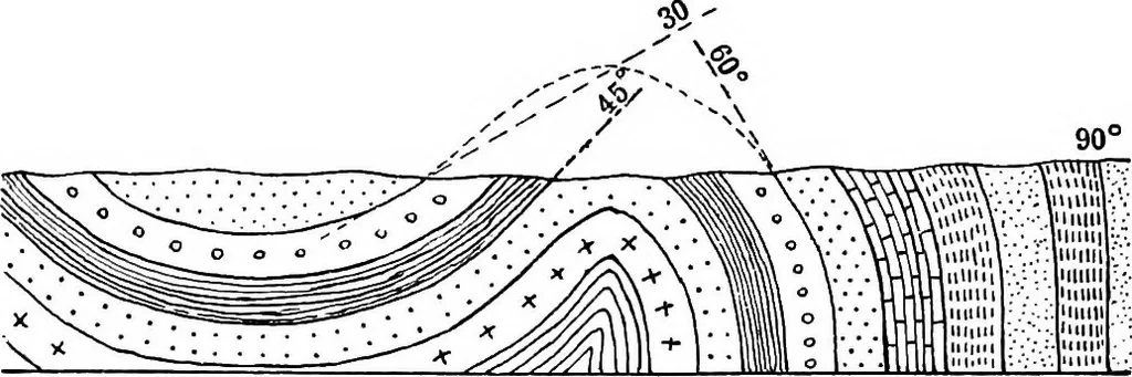
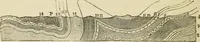
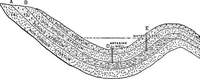
d, that horizontal stratification is, at all events inBritain, the exception rather than the rule. The beds ofrock are frequently tilted or inclined, and in many casesthe angle of inclination varies rapidly, so that verydifferent inclinations, or dips as they are called, mayoccur in the same bed of… … Syncline Anticline Fig. 9.—Inclined Beds formed by parts of Folds. the beds into a vertical position, or, in extreme cases, togive rise to actual inversion. The diagram (Fig. 9) is intended to illustrate the rela-tionship of the various degrees of dip to each other, and itwill be seen that the…
Cartography · Geology · Topographical drawing
Internet Archive · Cornell University Library · Public Domain Mark 1.0. Free to use for anything.