Geological and topographical maps, their interpretation and use, a handbook for the geologist and civil engineer (1911)
Dwerryhouse, Arthur Richard, 1867- · London, E. Arnold · leaf 46
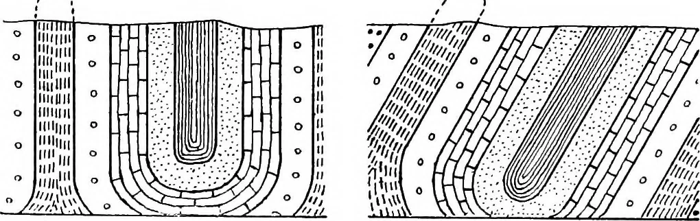
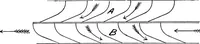
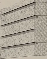
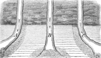
Fig. 12.— Recumbent Fold. very well-marked characters, it is in consequence almostimpossible to detect this repetition in the field. Types of fracture other than thrust planes are pro-duced by the action of gravity upon masses of the earthscrust detached from the surrounding blocks by shrinkage … Fig. 13.—(a) Vertical Isoclinal Fold, (b) Inclined Isoclinal Fold. or otherwise, and these are usually known as normalfaults/ since they are the most commonly occurring type.The fault plane is usually steeply inclined, and isfrequently polished and striated in the direction of themovement which has…
Cartography · Geology · Topographical drawing
Internet Archive · Cornell University Library · Public Domain Mark 1.0. Free to use for anything.