Geological and topographical maps, their interpretation and use, a handbook for the geologist and civil engineer (1911)
Dwerryhouse, Arthur Richard, 1867- · London, E. Arnold · leaf 62
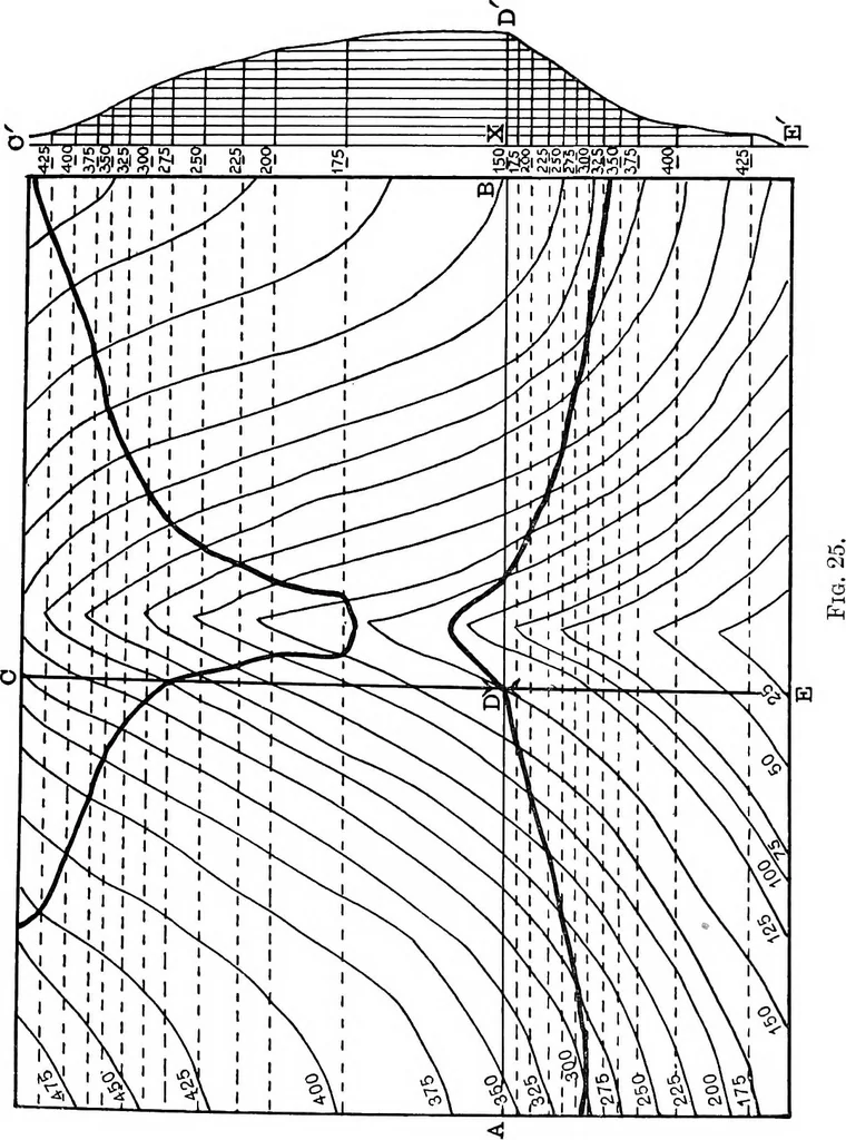
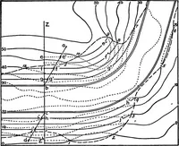
contour interval), and through the points thus obtaineddraw lines parallel to CE to cut the curve. Finallythrough the points of intersection of these parallel lineswith the curve draw lines across the map parallel to AB,the axis of the fold (the dotted lines in the figure). A moments consideration… … CHAPTER IV INCLINED AND FOLDED STRATA IN PLAN ANDSECTION The interpretation of geological maps must now be con-sidered, and in this subject the familiarity with regard tothe relation of outcrops and contour lines, gained bymeans of the exercises suggested in the preceding chapter,will be found to…
Cartography · Geology · Topographical drawing
Internet Archive · Cornell University Library · Public Domain Mark 1.0. Free to use for anything.