Geological and topographical maps, their interpretation and use, a handbook for the geologist and civil engineer (1911)
Dwerryhouse, Arthur Richard, 1867- · London, E. Arnold · leaf 77
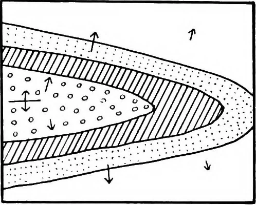
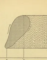
nes gives rise to a basin. It will be readily understood that symmetrical domesand basins produced in this manner are extremely rare innature, as folded areas offer great resistance to subsequentplication in another direction, the result being thatfractures usually occur. This resistance may be… … Fig. 41.—Outcrop of a TiltedAnticline. 64 GEOLOGICAL AND TOPOGRAPHICAL MAPS the denudation of such tilted folds are usually curved inthe manner to be seen in Fig. 41. The various complicated forms of outcrop which mayarise in this manner may be illustrated by cutting sectionsof a piece of wood,…
Cartography · Geology · Topographical drawing
Internet Archive · Cornell University Library · Public Domain Mark 1.0. Free to use for anything.