Hinks, Arthur R. (Arthur Robert), 1873-1945 · Cambridge : University press · leaf 56
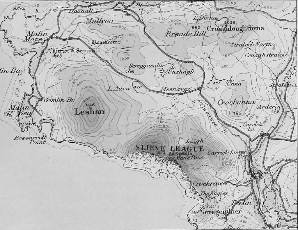
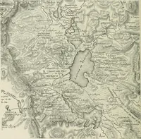
With Hill Shading MaUivBciyi … Layer System Ordnance Snivcy. Southaiitffton. I!-Il3 MAPS 29 Plate IX), even if it is not possible to assign a separate tint toeach interval. The advantage of this may be seen on comparingthe Bavarian Staff map with, let us say, the layer map ofScotland. In the former several contours are included…
Maps · Surveying
Internet Archive · Cornell University Library · Public Domain Mark 1.0. Free to use for anything.