Maps and survey
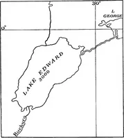
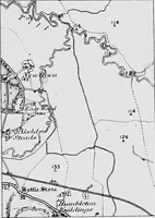
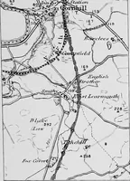
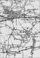
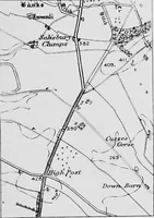
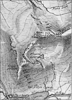
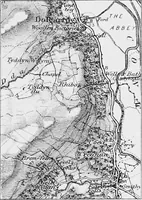
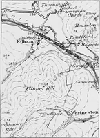
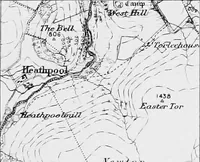
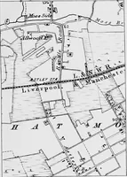
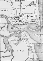
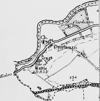
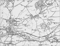
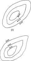
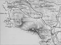
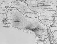
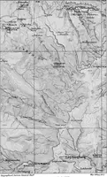
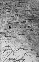
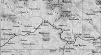
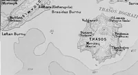
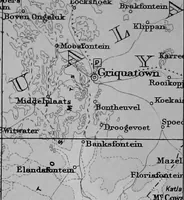
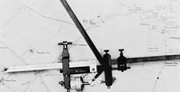
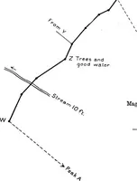
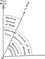
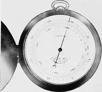
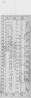
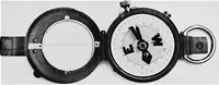
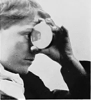
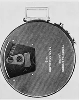
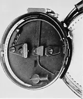
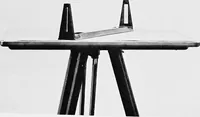
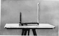
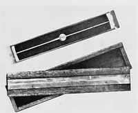
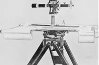
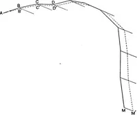
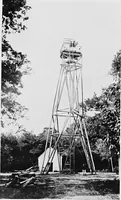
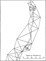
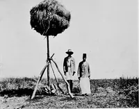
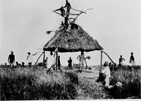
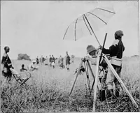
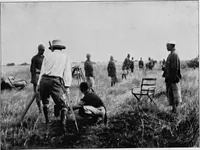
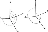
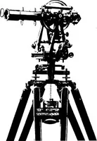
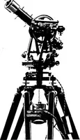
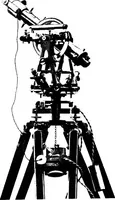
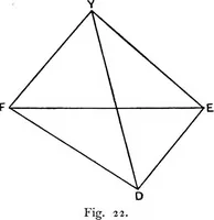
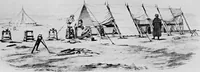
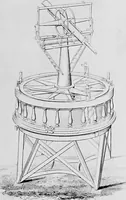
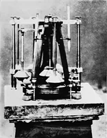
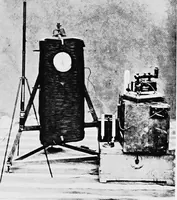
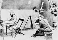
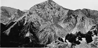
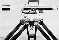
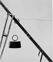
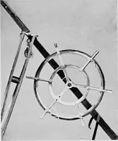
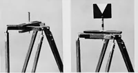
A technical handbook on mapmaking and surveying by Arthur R. Hinks, a Royal Geographical Society cartographer, published by Cambridge University Press in 1913 for students, surveyors and geographers. Plates reproduce specimen sheets from national surveys — contoured and hachured relief, hill-shading, field boundaries and named farms in England, Kashmir and South Africa — alongside diagrams of projections and photographed instruments such as the rolling planimeter, useful as ready-made map textures, engraved lettering samples and instrument silhouettes.