Elements of surveying and navigation : with a description of the instruments and the necessary tables (1847)
Davies, Charles, 1798-1876 · New York : A.S. Barnes & Co. · leaf 179
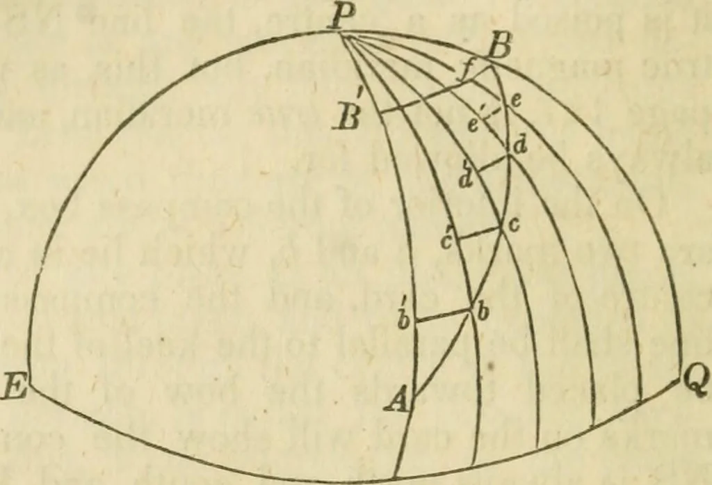
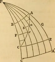
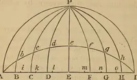
nd each knot measures the one hundred andtwcnticlli part of a mile, it follows that the number of knotsreeled off while the half minute glass runs out, will indicate howfast the ship sails per hour. * A geogra):)hical mile is one minute, or one-sixtieth of a degree, measured on theequator. Taking… … 13. Let the diagramEPQ represent a por-tion of the earths sur-face, P the pole, andEQ the equator. LetAB be any rhumb hne,or track described by aship in saiUng from Ato B, Conceive the path ofthe ship to be dividedinto very small parts, and through the points of division drawmeridians, and also the…
Surveying · Navigation
Internet Archive · UMass Dartmouth, Claire T. Carney Library · Public Domain Mark 1.0. Free to use for anything.