U.S. Army Command and General Staff College · Fort Leavenworth, Kan. : The General Service Schools Press · leaf 41
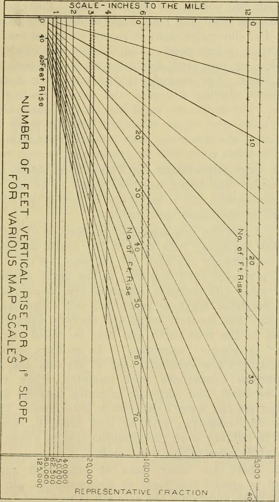
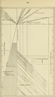
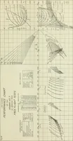
susually read in reconnaissance instruments at the sametime that the line of sight is adjusted on the distant point. 8. As the slope is usually desired between two pointson the ground itself it is necessary to sight upon a pointabove the distant point a distance equal to the height of theeye above… … Plate V 32 TOPOGRAPHY 9. The clinometer often needs adjustment. It shouldbe tested as follows: Mark two points, say 50 feet apart. Put clinometersight on one point and read angle of difference to secondpoint. Put clinometer sight on second point and read angleof elevation to first point. Add the…
Military topography · Maps, Military
Internet Archive · Library of Congress · Public Domain Mark 1.0. Free to use for anything.