Engineer course in topography
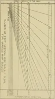
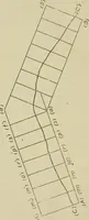
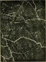
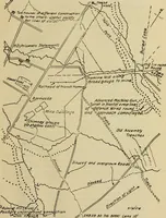
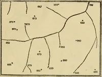
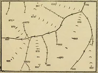
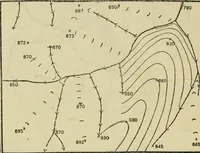
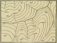
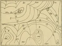
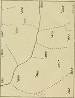
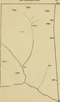
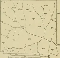
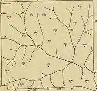
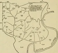
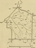
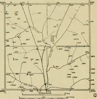
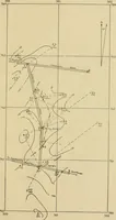
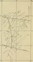
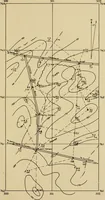
A 1922 instructional manual on military topography issued by the General Service Schools Press at Fort Leavenworth for U.S. Army officers learning map reading and sketching. The plates are stripped-down line maps in stages: stream networks, hachured slope ticks, spot elevations, contour lines and scale bars, useful as diagrammatic terrain marks, numeric annotation, and sparse cartographic linework.