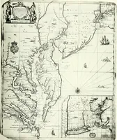
The English pilot. [cartographic material] : The fourth book. Describing The West-India navigation, from Hudson's Bay to the River Amazones. Particularly delineating The Sea Coasts, Capes, Headlands, Rivers, Bays, Roads, Havens, Harbours, Streights, Rocks, Sands, Shoals, Banks, Depths of Water, and Anchorage, with all the Islands therein, as Jamaica, Cuba, Hispaniola, Barbadoes, Antigua, Bermudas, Porto Rico, and the rest of the Caribbee and Bahama Islands. Also, A new Description of Newfoundland, New England, New York, East and West New- Jersey, Dellawar Bay, Virginia, Maryland, Carolina. showing, The Courses and Distances from one Place to another; the Ebbing and Flowing of the Sea, the Setting of the Tides and Currents, &c. With many other Things necessary to be known in Navigation. (1775)
Thornton, John, 1641-1708, Fisher, William, fl. 1669-1691, Adams, John, 1735-1826, former owner. BRL, Boston Public Library (John Adams Library) BRL · London : Printed for J. Mount, T. Page, and W. Mount, on Tower-Hill. · leaf 59
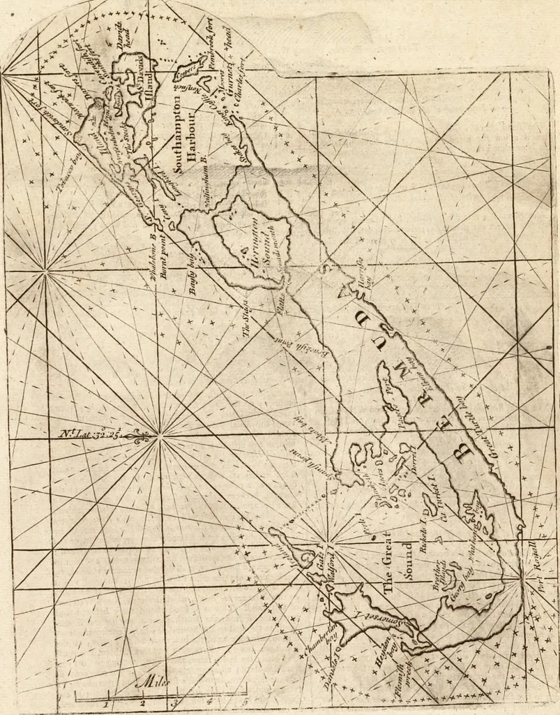
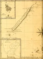
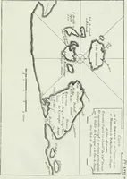
is h^arbour, you muftkeep along the South ftore, there beins; nothing to hurtvoufrom fliip-ftern ; all along into the harbour you may comefonear the fhip.ftern, as to caft a ftone on fhore; there beine r tfathom and a .,alf clofe by it. This ifland belongs to^heEnghjh, and has mthefe few years… … /? Defiriptkn of the IJlmid Bermuda.This ifiand Bermuda lies North from the iQ.ind Amigan,being a low flat idand ; and ofl^ the SW. point there is afiioal a bng way offs and off the N.N.W. point lies ano\herflioal or fpit of fatid, a great way off into ihe fea i and onthe We(t fide is a good road,…
Pilot guides · Nautical charts · Navigation
Internet Archive · Boston Public Library · Public Domain Mark 1.0. Free to use for anything.