Hydrographical surveying : a description of means and methods employed in constructing marine charts (1920)
Wharton, W. J. L. (William James Lloyd), 1843-1905, Field, Arthur Mostyn, 1855- · London : J. Murray · leaf 121
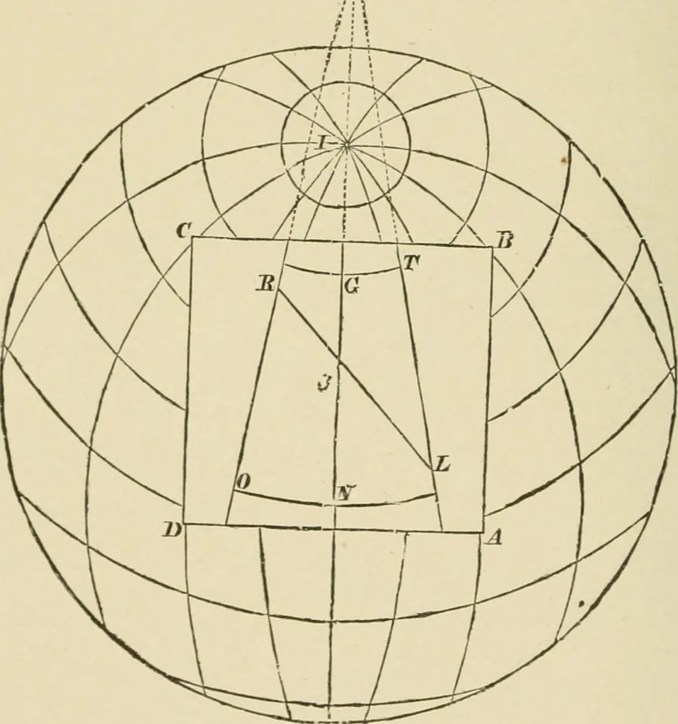
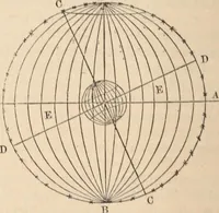
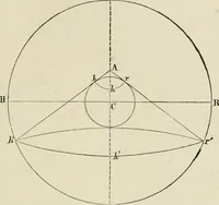
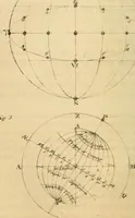
SURVEYING [chap, iv earth. L is the position on ouf chart of K (see other figure).R is the position of a similar point, invisible in first figure,being on the other side of the earth. Meridians passingthrough L and R are projected on the chart by the samemethod as before, i.e., by drawing imaginary… … which is the Convergency of the meridians ; and this will beseen at once to be equal to the difference of the reverse bearingsof R and L, for— ZORL = OXL+RLX,or OXL = ORL-RLX, i.e., Convergency = Bearing of L from R-Bearing of Rfrom L. A little consideration of this last figure will show that…
Hydrographic surveying · Nautical charts
Internet Archive · Biodiversity Heritage Library · Public Domain Mark 1.0. Free to use for anything.