Hydrographical surveying : a description of means and methods employed in constructing marine charts (1920)
Wharton, W. J. L. (William James Lloyd), 1843-1905, Field, Arthur Mostyn, 1855- · London : J. Murray · leaf 160
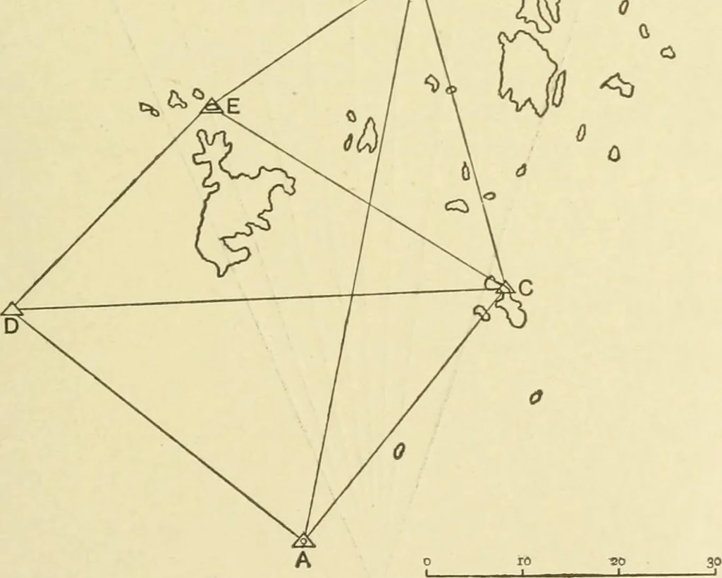
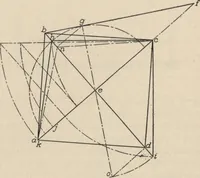
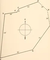
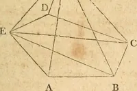
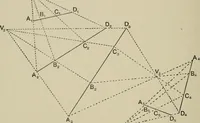
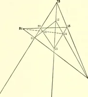
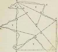
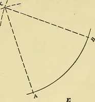
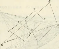
M = sin a . cot H A C —cos . a . _ M + cos acot . H AC = . sin a Whence true bearing of A C is found, and from the diff. lat.the distance A C follows, together with all the sides and anglesof the triangulation. Example VI.—The following sketch of the Anamba Islands(Fig. 29) is an illustration of an… … Assuming D C = 10,000 units, calculate in the triangulationthe sides C A, C B. In A A C B, given C A, C B, and Z A C B, find Z« C A B,C B A, and A B. Apply these angles to the observed true bearings of C from 140 HYDROGRAPHICAL SURVEYING [chap. v. A and B respectively, and we have the mercatorial…
Hydrographic surveying · Nautical charts
Internet Archive · Biodiversity Heritage Library · Public Domain Mark 1.0. Free to use for anything.