Hydrographical surveying : a description of means and methods employed in constructing marine charts (1920)
Wharton, W. J. L. (William James Lloyd), 1843-1905, Field, Arthur Mostyn, 1855- · London : J. Murray · leaf 167
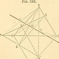
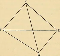
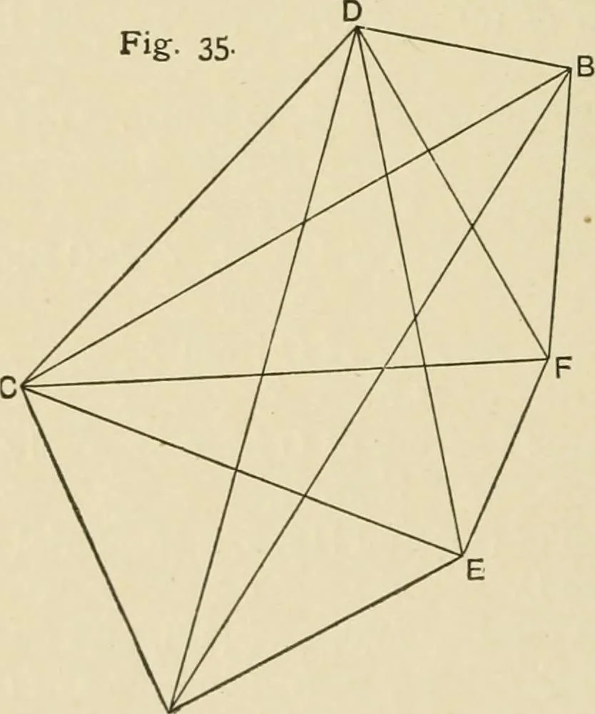
station. The observed astronomical positions should be adjusted tothe results by triangulation in respect to bearing. Example XII.—Two inaccessible objects visible from bothastronomical positions, irivisible from each other, and at suchdistance apart that the ship cannot see both from a single… … A shot up in her two positions, and angles at the ship being ob-tained simultaneously between the shooting-up station andC and D, we have sufficient data for calculation from whichthe main points may be subsequently plotted. Assume B F = 10,000 units. (1) In A BFD, findDB, FD. (2) In A B F C, find…
Hydrographic surveying · Nautical charts
Internet Archive · Biodiversity Heritage Library · Public Domain Mark 1.0. Free to use for anything.
![An illustration from Works. Popular edition.] 2 series (1886)](https://img.insideoutlibrary.com/img/200/bl-bl_003191336_9-318-1.webp)