Hydrographical surveying : a description of means and methods employed in constructing marine charts (1920)
Wharton, W. J. L. (William James Lloyd), 1843-1905, Field, Arthur Mostyn, 1855- · London : J. Murray · leaf 170
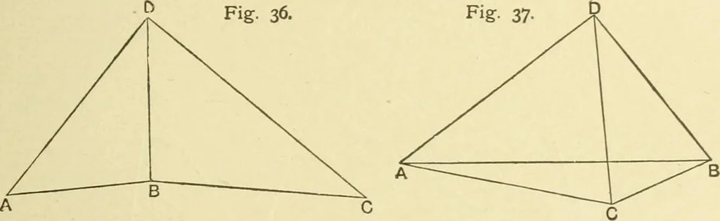
nshore points being available to carry on the triangulation, and C being visible from B. To find D, the best position for placing the ship, D B should ABCroughly bisect angle ABC; and A D C= 180° —, or 180°-AB D. Observers being stationed at A, B, C, the observer at B putsup transit marks, if… … The ship hoists flag and dips in the usual manner whensimultaneous observations are made at A, B, and C, andrepeated as often as necessary. B C is calculated from A Bthrough D B, using the calculated angles at D. In the case of the station C, which it is required to fix, beingsituated between the…
Hydrographic surveying · Nautical charts
Internet Archive · Biodiversity Heritage Library · Public Domain Mark 1.0. Free to use for anything.