Hydrographical surveying : a description of means and methods employed in constructing marine charts (1920)
Wharton, W. J. L. (William James Lloyd), 1843-1905, Field, Arthur Mostyn, 1855- · London : J. Murray · leaf 175
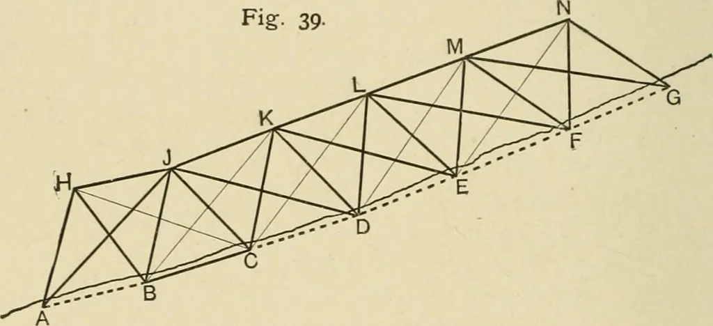
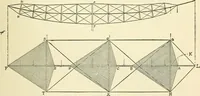
here andthere, in order to avoid placing stations unnecessarily close toeach other, it may sometimes become necessary to resort tothe principles adopted in the previous example.It is proposed to illustrate such a case as follows :In Fig. 39, stations are erected along the coast about 5 milesapart… … and heUostats. Beacons are laid down at H, J, K, L, etc.,forming approximately equilateral triangles with the shorestations. The ship is then anchored as near each beacon insuccession as may be convenient without fouling it, and withoutobstructing the view of the beacon from the two shore…
Hydrographic surveying · Nautical charts
Internet Archive · Biodiversity Heritage Library · Public Domain Mark 1.0. Free to use for anything.