Hydrographical surveying : a description of means and methods employed in constructing marine charts (1920)
Wharton, W. J. L. (William James Lloyd), 1843-1905, Field, Arthur Mostyn, 1855- · London : J. Murray · leaf 179
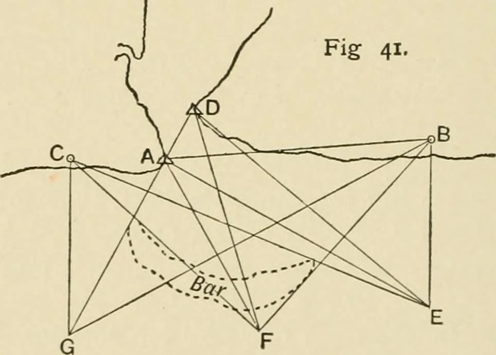
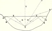
antage should be taken of any favourably situated con-spicuous mountain-peak to revert to the methods described informer examples. Example XVIII.—This illustrates the survey of the bar of ariver on the West Coast of Africa, such as that of the River Brass,the ship and two observers only being… … A D will form the base for continuing the triangulation up theriver. B is a conspicuous tree about 6 miles distant, andclearly recognisable from A, and also from the ships stationsat E, F, G. C is another tree, also recognisable from the shipsstations. CHAP, v.] USE OF THE SHIP FOR TRIANGULATION…
Hydrographic surveying · Nautical charts
Internet Archive · Biodiversity Heritage Library · Public Domain Mark 1.0. Free to use for anything.